

Earthwork · Topo · Machine control
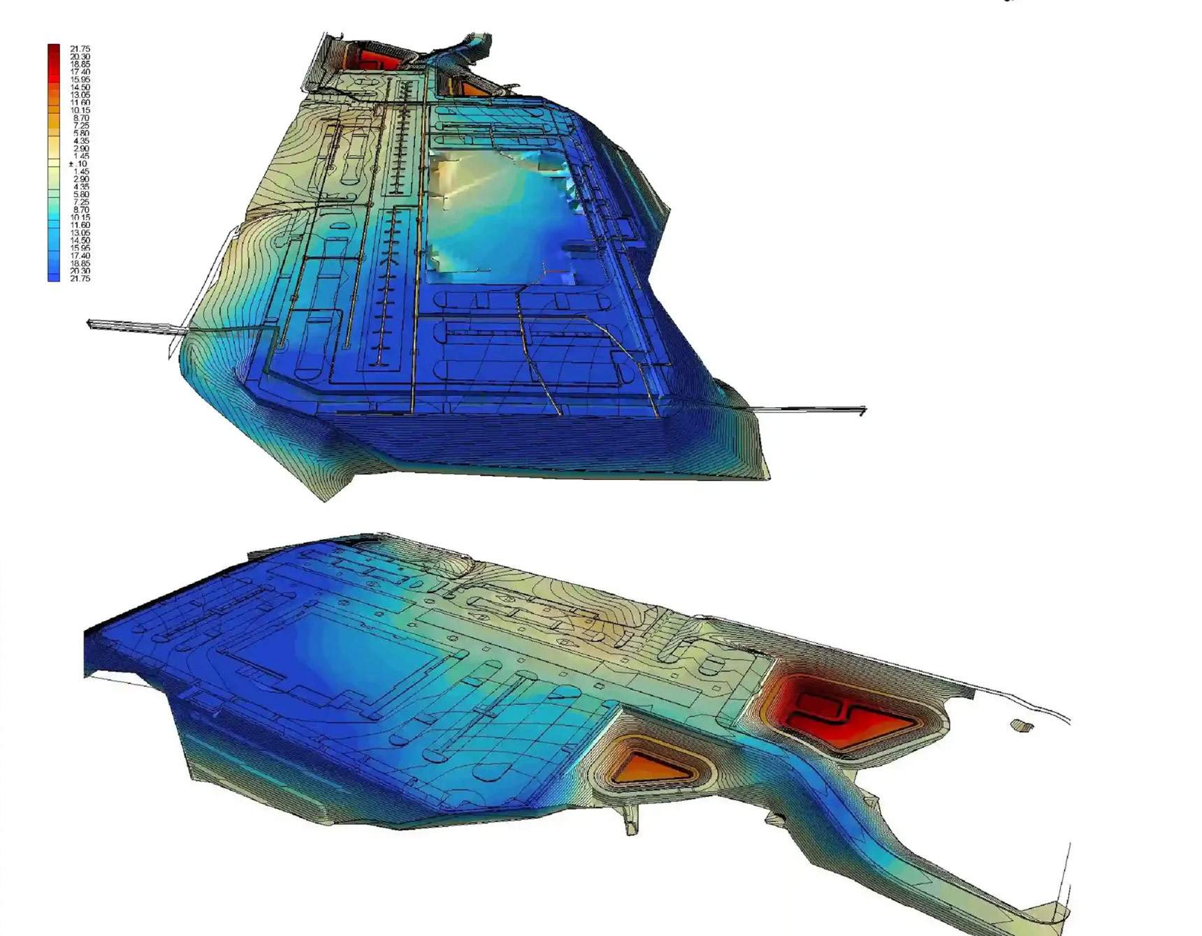
Look at the deliverable before you read a word about us.
We fly your site and send back a model your crew can load — Trimble, Topcon, Leica, John Deere. Quote back in 24 hours, data 72 hours after the flight.
- Quote in
- 24 hours
- Delivery
- 72 hours
- Vertical
- ±0.1 ft
Capabilities at a glance
Full spec sheet →| Service | Method | Delivered as | Accuracy | Turnaround |
|---|---|---|---|---|
| Earthwork takeoffs | Plans + existing conditions | Quantity report · cut/fill map | Typically within 3% | 72 hr |
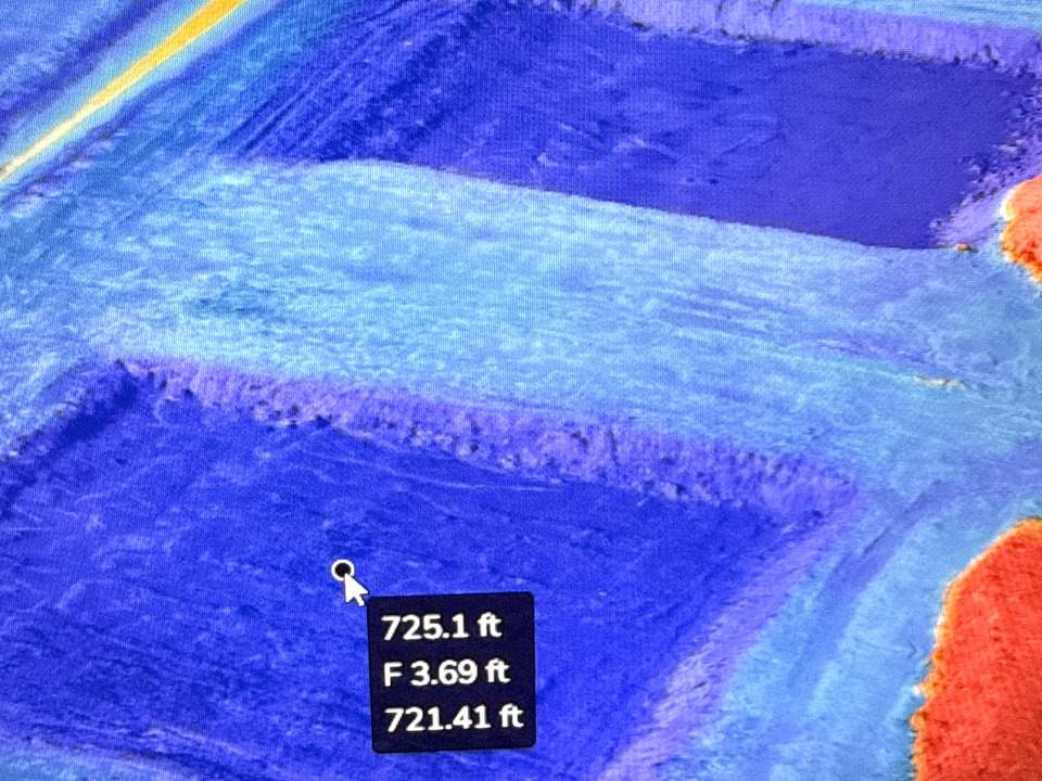
| Aerial topographic mapping | RTK + GCP | Surface · contours | ±0.1 ft | 72 hr |
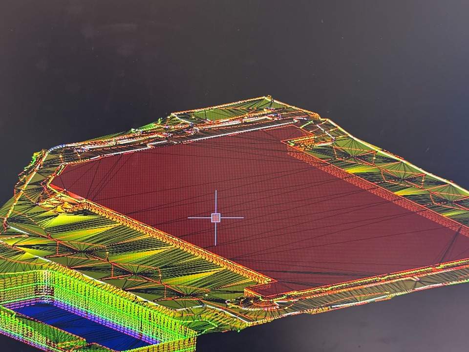
| Machine control models | Plan set + control | TP3 · DXF | Design grade | 72 hr |
| Progress documentation | Fixed corridor route | Ortho · PDF report | Visual record | at requested intervals |
| Construction staking | Plans + site control | Stakes on site · staking files | To the design plans | scheduled to your date |
Orthomosaic + contours
client-supplied · 960 × 720 (4:3)
§ Service area
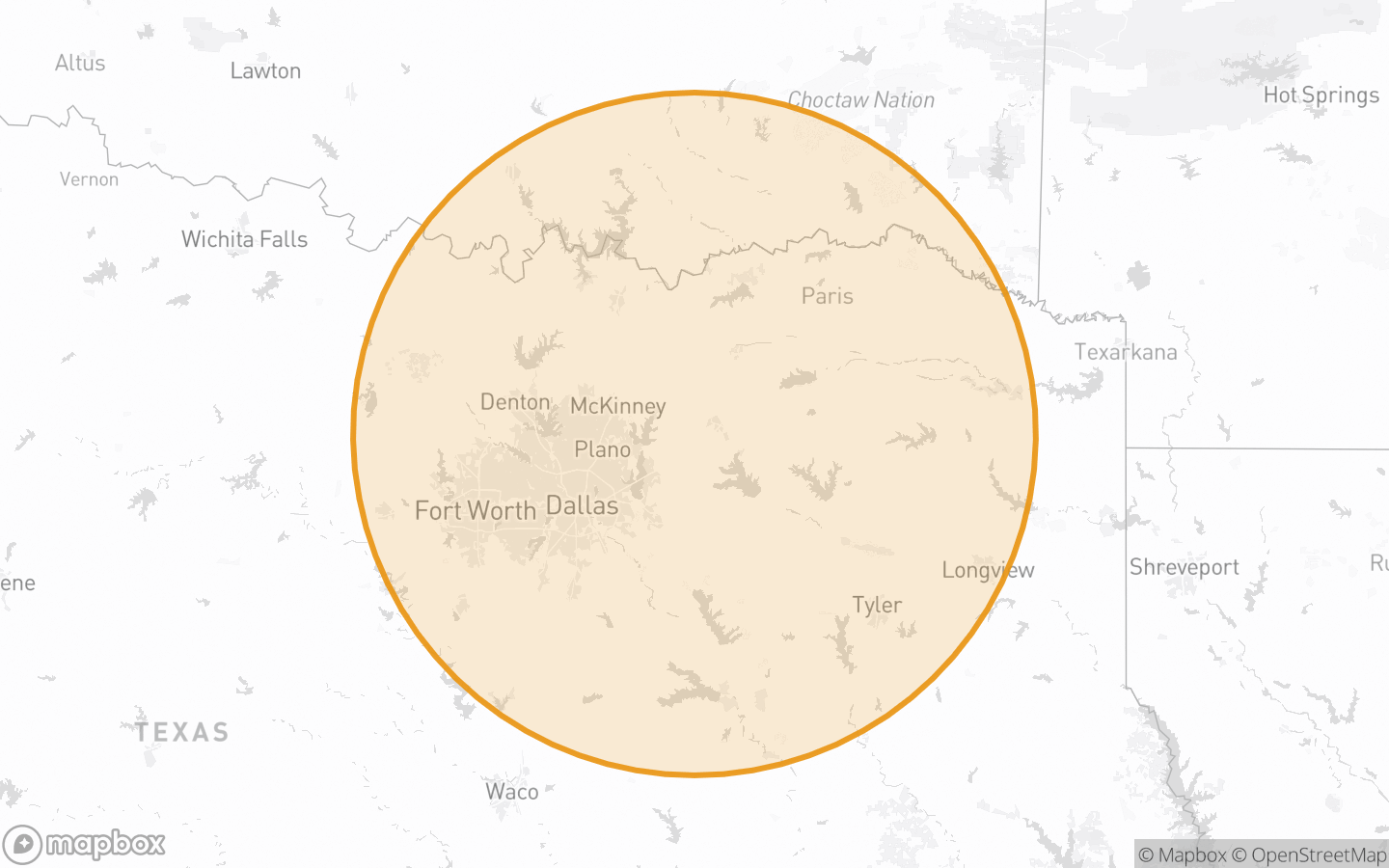
100 miles out — Fort Worth to Longview
Based in Caddo Mills, TX. Mobilization is quoted per site, and the radius ends where the drive stops being same-day.
- FAA Part 107
Certificated pilot - Controlled airspace
30% of work flown - Machine control
Trimble · Topcon · Leica · John Deere - Accuracy
±0.1 ft · 72 hours turnaround
Send the plan set. Get a quote back today.
Uploads to 200 MB · no account required · quote back within 24 hours